
Satellite crew trackers
Position reporting that does not depend on cellular or radio coverage.
Before you buy
- Reporting interval is a direct trade against battery life.
- Check how positions reach the ICP when its own connectivity is limited.
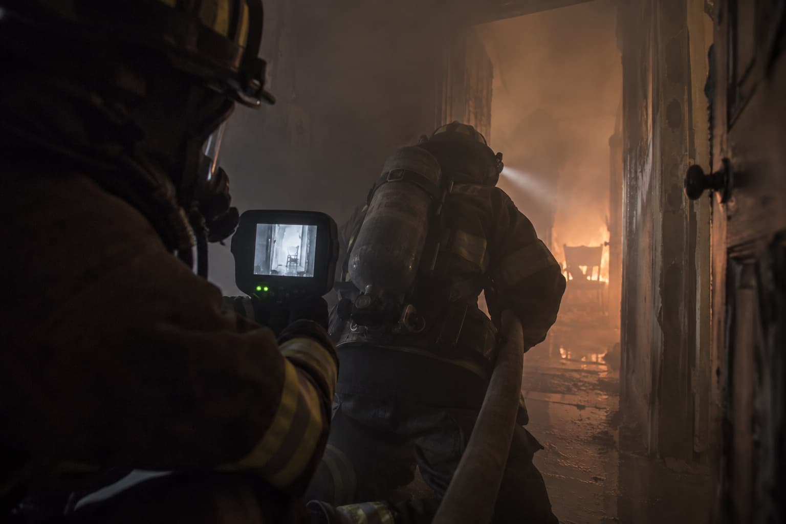
Large geographic areas, difficult terrain and inconsistent communications make resource location and accountability fundamentally different from a structural incident.
Position reporting that does not depend on cellular or radio coverage.
Before you buy
Apparatus and vehicle location on the incident map.
Crew and resource position shared into the common operating picture.
Deployable and satellite communications for terrain with no infrastructure.
Maps that keep working when the connection does not.
One picture that divisions, branches and command are all reading from.
Listed alphabetically, not ranked. Everything below is reported by the company itself. Being listed is free and is not a recommendation — use the questions above when you talk to any of them.
FLORIAN
Real-time personnel and resource accountability on a dynamic 3D incident map.
Visit website →ActiveAlert
ActiveAlert sends emergency alerts to responders and supports mapping, response status, and coordination.
Visit website →Adashi FirstResponse MDT
Adashi FirstResponse MDT gives responders mobile access to incident information for response and scene management.
Visit website →AirgainConnect Fleet / AC-Fleet
All-in-one 5G vehicle gateway combining cellular, Wi-Fi 6, GNSS, and antennas in one rugged rooftop unit for reliable fire apparatus and command vehicle connectivity.
Visit website →An in-ear monitor measuring core body temperature, heart rate and fatigue, with alerts and location sent to a live dashboard.
Visit website →Bryx 911
Bryx 911 sends CAD-linked job alerts, routing, hydrant data, responder locations, and team messages to mobile responders.
Visit website →DisasterLAN (DLAN)
Web-based all-hazards incident-management platform providing a common operating picture, GIS, resource tracking, workflows, and ICS documentation.
Visit website →Caliber CAD NG
Caliber CAD NG helps 911 centers manage dispatch, mapping, AVL, CAD-to-CAD sharing, notifications, and public safety integrations.
Visit website →D4H Incident Management
Configurable incident-management platform combining maps, status boards, forms, tasks, logs, plans, and responder coordination.
Visit website →Darkhorse Response and Darkhorse Risk
Darkhorse Response Turns incident and response data into insights chiefs use to make faster, more confident decisions. Darkhorse Risk Maps community fire risk using local and national data, revealing hotspots to act on with evidence.
Visit website →Deccan Software Suite
Deccan helps fire and EMS leaders analyze deployment, coverage, move-ups, run cards, and emergency response planning.
Visit website →DroneSense Platform
DroneSense helps public safety agencies fly, manage, map, stream, and collaborate around drone operations.
Visit website →eDispatches detects dispatches and sends alerts to responders through mobile app, text message, or phone call.
Visit website →EmberSat continuously analyzes public satellite imagery to identify likely wildfire ignitions, prioritize them, and deliver operational alerts and mapped intelligence to dispatchers across large, remote areas.
Visit website →ArcGIS
Enterprise GIS and location-intelligence platform for mapping, spatial analysis, field data collection, dashboards, real-time operations, and public safety decision support.
Visit website →Defensible Space & Home Hardening
Wildfire-resilience inspection software for evaluating properties, delivering mitigation recommendations and measuring community risk-reduction progress.
Visit website →Incident command simulations and training using users own pictures and 3D maps of their locality.
Visit website →First Arriving Platform
First Arriving displays critical agency information from connected systems on dashboards, station screens, web, mobile, and tablets.
Visit website →Flock DFR
Flock DFR is a drone-as-first-responder system that launches drones to provide live incident video and scene awareness.
Visit website →FlowMSP helps fire departments create and access digital pre-incident plans.
Visit website →Genasys Protect
Zone-based public-warning and emergency-coordination platform for targeted alerts, evacuation information, and interagency situational awareness.
Visit website →GeoComm Indoor Safety
GeoComm Indoor Safety gives fire departments interactive, public-safety-grade indoor maps with searchable rooms, entrances, fire protection systems, and hazards—helping crews preplan, navigate complex buildings, coordinate response, and make faster, safer decisions.
Visit website →Hexagon Public Safety Solutions
Hexagon helps EMS and public safety agencies manage dispatch, incident response, pre-planning, collaboration, and operational reporting.
Visit website →IamResponding helps agencies notify responders, track who is responding, view incident information, and coordinate field activity.
Visit website →IC Mobile Digital Incident Command
IC Mobile Command is our digital command board application for iPad and Android. We transform the traditional whiteboard into a shared digital platform visible to all responding units, providing modern tools for the incident commander.
Visit website →AwareUS
AwareUS is America’s authoritative emergency information network, powering native mobile apps such as AwareCA with free, agency-led updates for your community.
Visit website →WebEOC Nexus
Cloud-based EOC and incident-management platform for maintaining a common operating picture across agencies and partners.
Visit website →KENWOOD Viking VP8000
Multiband, multiprotocol public safety portable radio supporting P25, DMR, NXDN, analog, and broadband interoperability.
Visit website →XL Extreme 400P
NFPA-compliant multiband P25 fire radio engineered specifically for extreme fireground environments.
Visit website →Locution Fire Station Alerting
Locution automates fire station alerting with audio, visual, zoning, mobile, and automated voice dispatch features.
Visit website →Mapbox Platform
Developer location platform for building customized maps, navigation, routing, search, geospatial visualization, and location-aware public safety applications.
Visit website →APX NEXT XN
NFPA 1930-certified all-band P25 smart radio designed specifically for firefighter and fireground communications.
Visit website →AI Co-Pilot Routing Software
Intelligent in-vehicle routing for crews to avoid delays and safety risks while on-route to incidents.
Visit website →OroraTech Wildfire Solution
OroraTech uses satellite data, thermal sensors, AI, alerts, maps, and analytics to detect and monitor wildfires.
Visit website →Pano Rapid Detect
Pano Rapid Detect monitors for wildfire smoke and sends verified incident intelligence to response partners.
Visit website →Perimeter Map
Collaborative incident map for creating and sharing evacuation zones, closures, routes and emergency resources with agencies and the public.
Visit website →Pulsara connects EMS, hospitals, public health, and emergency management teams through secure patient and incident communication channels.
Visit website →PURVIS Fire Station Alerting System
PURVIS FSAS automates CAD-linked dispatch alerts for fire stations, remote personnel, and mobile responders.
Visit website →Skydio Solution for Fire Service
Skydio provides drones and software for fire service drone-as-first-responder, incident intelligence, thermal imaging, and mapping.
Visit website →BAND V2
An arm-worn monitor that tracks core body temperature, heart rate and exertion, and alerts a safety officer before a firefighter goes down.
Visit website →Southern Software Public Safety Suite
Southern Software provides CAD, mapping, mobile data, RMS, analytics, and public safety operations tools.
Visit website →Stationwise is a drag-and-drop staffing and scheduling platform purpose-built for fire departments, automating hiring, timekeeping, and payroll so battalion chiefs spend less time on rosters and more time leading crews.
Visit website →StreetWise CADlink Tablet MDT/MDC
StreetWise CADlink gives fire and EMS apparatus a tablet or laptop MDT with dispatch, mapping, AVL, and pre-plan information.
Visit website →Tablet Command helps incident commanders manage units, assignments, maps, accountability, and incident activity from mobile devices.
Visit website →Phoenix G2 Fire Station Alerting
Phoenix G2 delivers CAD-linked fire station alerts, text-to-speech dispatching, station controllers, and audio-visual notifications.
Visit website →Veoci Emergency Management
No-code emergency-management platform for EOC coordination, plans, notifications, workflows, resource tracking, mapping, and after-action reporting.
Visit website →Versaterm CAD
Versaterm CAD helps public safety agencies manage call intake, dispatch, AVL, mobile field updates, and records-connected workflows.
Visit website →Home Safety Assessment
An online walkthrough that helps residents identify fire hazards in their home — from smoke alarms to escape planning — while giving fire departments the data to target education and outreach where it matters most.
Visit website →Vocality RoIP GAteway
The Vocality RoIP is a Radio over IP gateway provides interoperability between disparate radio devices, dispatch solutions, Push-To-Talk over Cellular and other IP technologies.
Visit website →MAX Fire Station Alerting
MAX Fire Station Alerting automates fire station alerts, station operations, CAD-linked notifications, and dispatch communications.
Visit website →Something here wrong or out of date? Report inaccurate information · Add a company